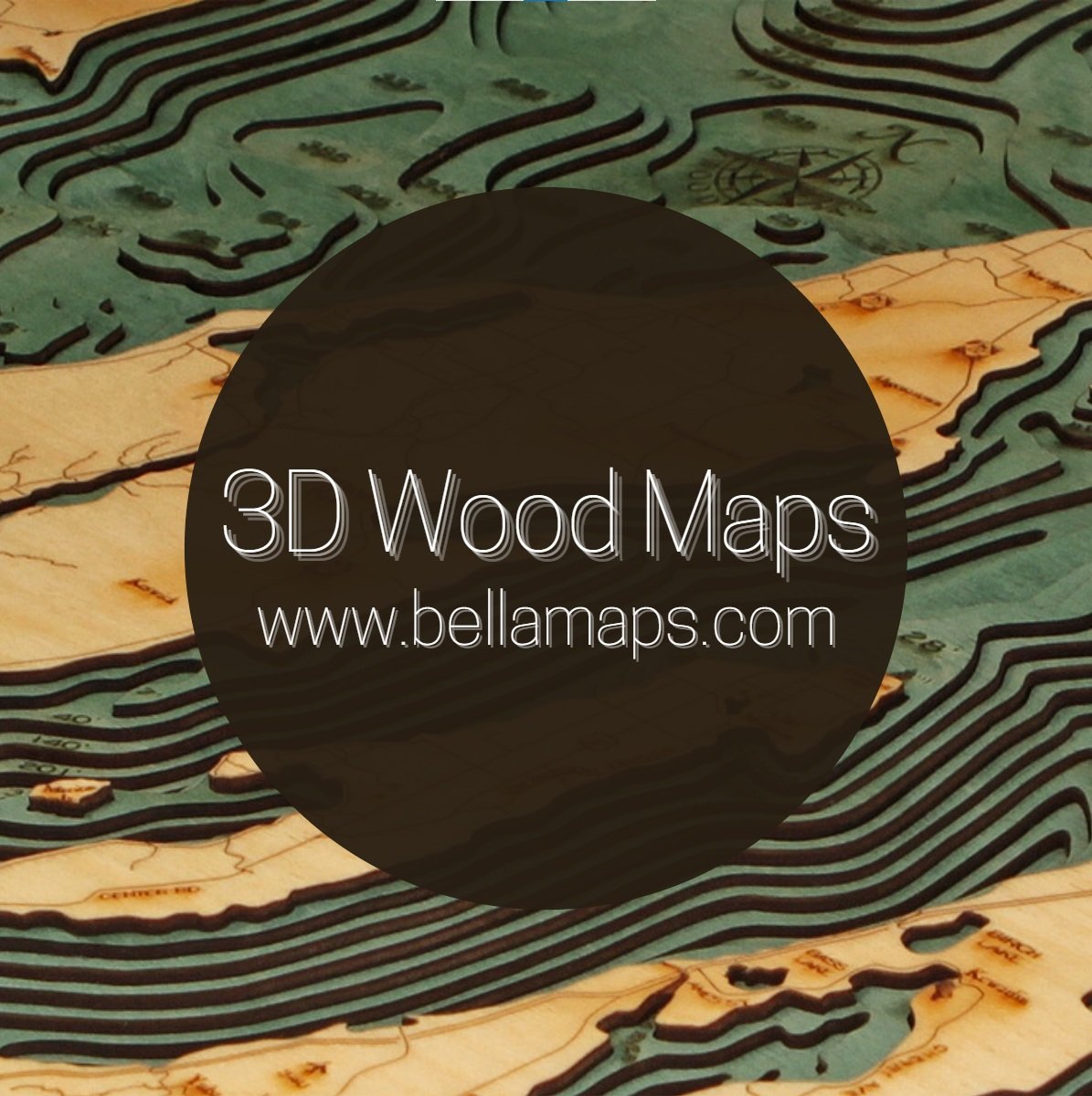
Salish Sea


Salish Sea
31” X 24.5” X 2”
Framed with Plexiglass
Hardware on the Back (Ready to Hang)
FREE SHIPPING!
What is the Salish Sea? The Salish Sea includes the Strait of Juan de Fuca, the Strait of Georgia, Puget Sound, and all their connecting channels and adjoining waters, (Haro Strait, Rosario Strait, Bellingham Bay, Hood Canal, and the waters around and between the San Juan Islands in the U.S. state of Washington and the Gulf Islands in British Columbia, Canada). The first known use of the term Salish Sea was in 1988, when marine biologist Bert Webber created the name for the combined waters in the region with the intention to complement the names Georgia Strait, Puget Sound, and Strait of Juan de Fuca, not replace them. The adoption of the term, he said, would raise consciousness about taking care of the region's waters and ecosystems. The geographic naming boards of the U.S. and Canada agreed in 2010 to recognize these interconnecting bodies of water as the Salish Sea.
Points of interest on the Salish Sea Map are:
Puget Sound, Olympic National Park, Pacific Ocean, Kitsap Peninsula, Vancouver Island, Whistler, Victoria, Seattle, Mt. Rainier National Park, Mount Vernon, Powell Lake, North Cascades National Park and more!
New Design!
Fully Framed & Ready to Hang
FREE SHIPPING (contiguous US)